KOEN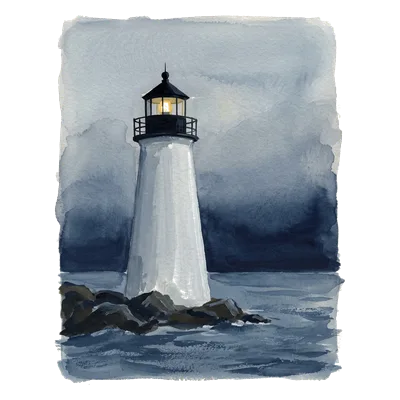
Ten Pound Island Light in the middle, with the lights within 20 km, in their listed colours.
Ten Pound Island Light — light characteristic, height, range
Red, 3 s on and 3 s off
On for 3 seconds.Off for 3 seconds.Begin again.
- Characteristic
- Iso R 6s
- Height
- 57 ft · 17 m
- Nominal range
- 5 nmi = 9 km
- Structure
- White conical tower.
- Remarks
- HORN: 2 blasts ev 20s (2s bl-2s si-2s bl-14s si). Fog signal is radio activated, during times of reduced visibility, turn marine VHF-FM radio to channel 83A/157.175Mhz. Key microphone 5 times consecutively, to activate fog signal for 60 minutes.
- Position
- 42.6019°N, 70.6656°W · MA
Lights nearby
- Gloucester Inner Harbor Channel Lighted Buoy 10One red flash every 2.5 seconds · 383 m
- Gloucester Inner Harbor Channel Lighted Buoy 9One green flash every 4 seconds · 434 m
- Tenpound Island Ledge Lighted Buoy 6One red flash every 4 seconds · 839 m
- Gloucester Inner Harbor Channel Lighted Buoy 12One red flash every 4 seconds · 869 m
- Annisquam River South Entrance Danger Lighted BuoyContinuous quick white flashes · 959 m
- Praire Ledge Lighted Buoy 7One green flash every 4 seconds · 962 m
- Gloucester Inner Harbor Junction Lighted Buoy GH2+1 red flashes every 6 seconds · 1.1 km
- Annisquam River Channel Light 48One red flash every 4 seconds · 1.7 km
Not for navigation. Use official NOAA charts and USCG Local Notices to Mariners.
Real periods; the phase is reconstructed from a fixed clock (real lights don't keep time with each other).
Sources: U.S. Coast Guard Light List (opens in a new tab) · Checked